
The Mitlenatch Island Visualisation (MIVis) research project explores the use of realistic visualisations as tools for climate change adaptation planning, environmental management, and other activities related to protecting ecological, social, and cultural values in protected areas. The project develops an interactive visualisation of Mitlenatch Island, a island park located near Campbell River, British Columbia, and it tests the tool through workshops with stakeholders and community members. Below is a demonstration video of the visualisation.
The project was conducted in two phases:
- Phase 1 was exploratory, and it developed a visualisation tool that contained a number of different features and functions, such as park management maps, videos, sea level rise scenarios, different satellite images, and 3D vegetation models. The purpose of developing this visualisation was to engage stakeholders with the different possibilities for developing such park management planning tools using video game software.
- Phase 2 of the project developed a visualisation tool that specifically focused on the management of invasive species (in response to the stakeholder feedback from the first phase). Once again, stakeholders engaged with the tool, and they provided thoughts and ideas on its advantages, disadvantages, areas for improvement and further development, and other possible applications of the tool. More information on the different phases of the project and the research outcomes can be found by using the buttons below to download a report on Phase 1 and a graduate thesis on Phase 2.
Download Report on Phase 1 Download Article on Phase 2
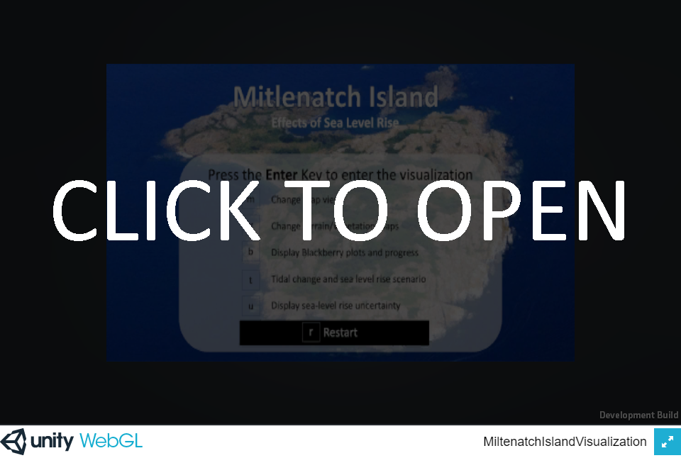
Version 1
The first version of the tool was exploratory in that it included a number of different features and functions to allow stakeholders to explore the potential of these tools (see the
| Download User Guide | Download PC Version | Download Mac Version |
Version 2
| High-Res PC Version | Low-Res PC Version | |||
| High-Res Mac Version | Low-Res Mac Version |
|
|

The project received funding from the BC Parks Living Lab for Climate Change and Conservation program.