
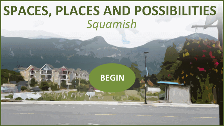
Spaces, Places and Possibilities is a completed research project that explored ways of integrating urban systems modelling with visualization techniques to better capture and convey potential outcomes of social and physical infrastructure decisions to local government and stakeholders. The research involved modelling different community development scenarios in order to examine possible outcomes of taking a particular development direction and implementing certain community policies and programs. The research used the output from the modelling work to build interactive visualizations and to gain a more salient understanding of the potential outcomes and impacts associated with the scenarios. The objective of the research is to investigate the challenges and opportunities of using urban systems models as a basis for building visualizations that can effectively engage and clearly communicate to users the benefits and trade-offs of different development paths. Click the buttons below to read about the different phases of the project and their outcomes:
| REPORT 1: Summary of systems model and scenario development |
| REPORT 2: Summary of community systems modelling and focus group feedback |
| REPORT 3: Summary of the systems model and scenario refinement |
| REPORT 4: Summary of the model explorer and visualization work |
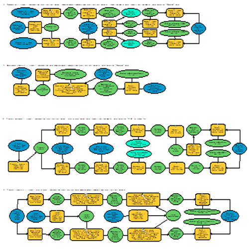
Scenario modelling was done in four stages: (1) designing a systems model and community scenarios (i.e., different community development patterns), (2) modelling the scenarios, (3) evaluating the model through community focus groups, and (4) refining the model and scenario based on the feedback. The first stage involved assembling a local government and community stakeholder focus group to discuss issues and possible futures for Squamish. Analysis of focus group data informed the design of a community systems model and local development scenarios. The second stage applied the systems model to examine potential outcomes of the scenarios. Modelling primarily used ArcGIS and R, and explored a variety of factors including access to amenities and education, walkability, parks/trails, food and farm systems, public transit, housing affordability, threats to critical habitat, etc. The third and fourth stage involved another focus group to solicit feedback on the model and scenarios, and then refinement based on the feedback.
Click the image below to open a 'model explorer' tool that allows you to learn more about the model and explore the scenarios and potential outcomes
|
CLICK THE ICONS BELOW TO DOWNLOAD THE SCENARIO MODEL TOOLKIT |
|
|
The Places, Spaces and Possibilities Scenario Model Toolkit |
Visualizations were created that depicted the different community scenarios (i.e., ways the community can develop). Methods for building the visualizations involved a combination of mapping technology and video game development software, and they were developed as realistic, immersive virtual environments. Users can navigate the visualizations from the first-person perspective and toggle between (and compare) scenarios using keyboard commands. Below is a demonstration video that shows a user exploring one of the visualizations and different community scenarios.
|
CLICK THE ICONS BELOW TO DOWNLOAD THE VISUALIZATION TOOLS |
|
|
The Places, Spaces and Possibilities Squamish Visualization for Windows
|
|
|
The Places, Spaces and Possibilities Squamish Visualization for MacOS |


|
|
This project was conducted in the community of Squamish, BC, and it was done in collaboration with Quest University Canada. We gratefully acknowledge the funding provided through the Banting Postdoctoral Fellowships and the Social Sciences and Humanities Research Council (SSHRC) Partnership Engage Grants program.