
The Systems-based Visualization Tools for Integrated Watershed Management research project develops and tests an experimental visualization tool for supporting participatory approaches to integrated watershed management planning. Using the Millstream Watershed (Capital Research District, BC) as a case study, the tool will be developed as an interactive virtual environment that will allow users to navigate and explore different strategies, or ‘scenarios’, for integrated watershed management. The project will employ a community-engaged participatory research approach, and it will engage local government, nongovernmental organizations, and community members in the design, development, use, and assessment of the visualization tool and watershed management scenarios.
The project aims to advance research and scholarship on visualizations as planning tools by pursuing two objectives. The first objective is to determine how interactive visualization planning tools for can be enhanced through the use of systems-based scenario analysis features. Visualizations can be effective tools for supporting environmental planning and management; however, they are not substitutes for other planning tools, such as systems maps and scenario models. Accordingly, the visualization application in this project will include systems-based modelling function that will allows for the analysis of different watershed management strategies and approaches based on complex system interactions and dynamics. The second research objective is to explore the use of narrative and storytelling features in a visualization tool. These features will include a series of embedded videos of interviews with watershed experts and local stakeholders, which will serve to ‘make sense’ of the complex scenario modelling outcomes through the use of illustrative examples and narratives.
Download the Phase 1 Report Download the Research Outcomes and Recommendations Report
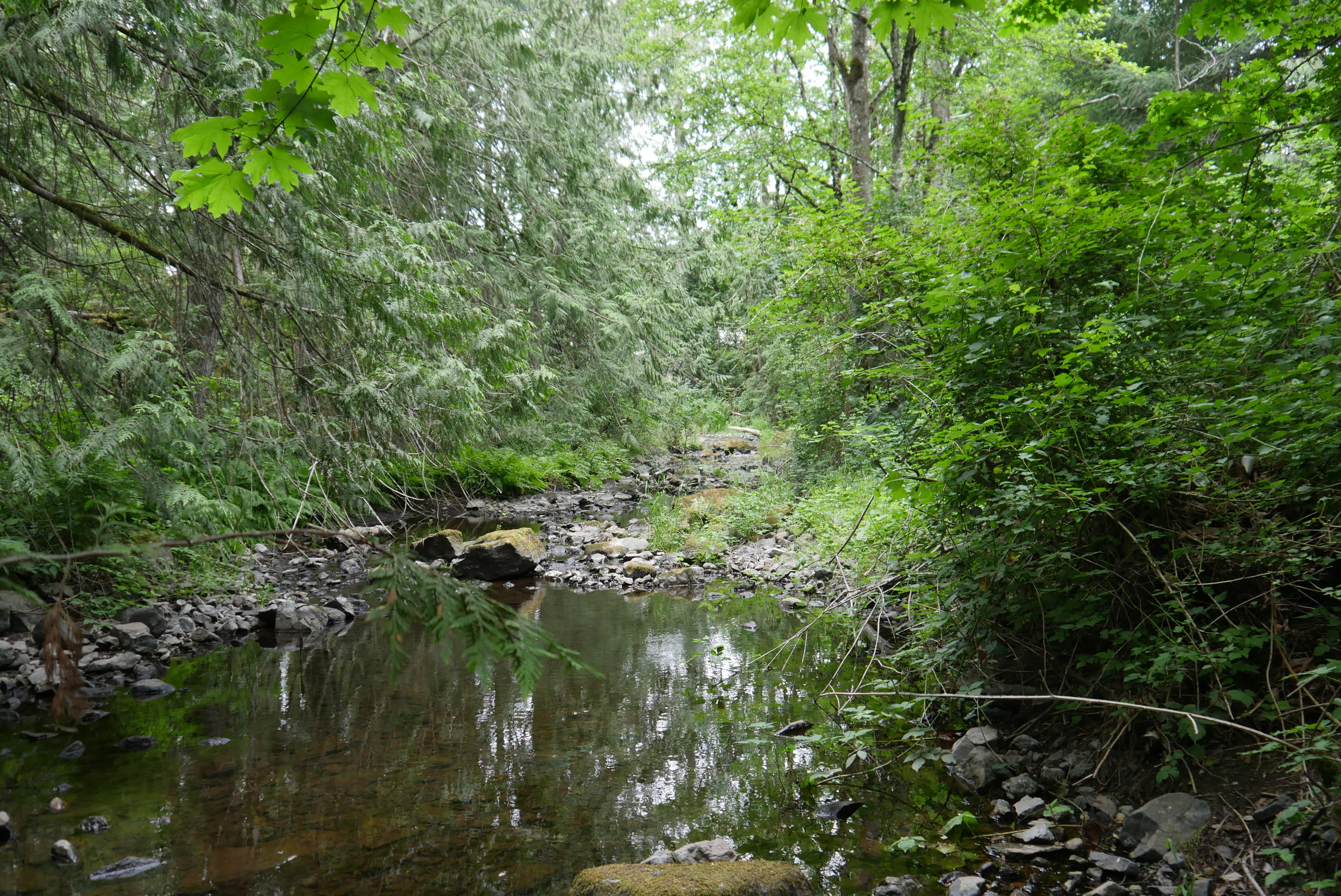
Photo by Brian White
In the province of BC, integrated watershed management plans for urban and rural areas have been developed to guide planning and management strategies in ways that integrate different factors related to ecological health and human wellbeing in the watersheds. A study was conducted to investigate the nature and degree of integration in these plans by analyzing the plans using a watershed governance prism framework. The framework characterizes a comprehensive approach for integrating social, environmental, health, and wellbeing issues in watershed governance and management efforts. Using the watershed governance prism as an analytical framework, key features and gaps in BC’s integrated watershed management plans are revealed. Click the button below to access a report on the study.
Below is a system model that was developed through a series of stakeholder workshops and capture the relationships among strategies, values, and challenges in the Millstream Creek Watershed. Specifically, the systems show relationships among (respectively) watershed management and development strategies, valued aspects of the watershed and communities within the watershed, and challenges facing the social and environmental health and wellbeing in the watershed. The yellow elements represent watershed issues and concerns, the green elements represents values, and the blue elements represent strategies.
To see these systems effects and dynamics, click the up and down arrows of a system element to see the effects of increasing and decreasing that element. Click the 'reset' button to reset the simulation, and click the 'reset' button to open and edit the system model in the LOOPY application. Click the button below to download a report on a comparison between LOOPY and another semi-quantitative systems and scenario analysis application, Mental Model.
There are various tools available for creating systems maps, such as Kumu, Gephi, Mindmap, yEd, Mental Modeler, and LOOPY (LOOPY was used to create the systems map above). Some of these tools, such as LOOPY and Mental Modeler, can be used for scenario analysis. The report below provides a comparison of LOOPY and Mental Modeler, as tools for systems-based scenario analysis.
Download the Report on Systems Tools
Below is a online version of the visualization tool. After the visualization has loaded, click on the full-screen expansion button in the bottom-right corner (i.e., the blue button with two arrows) to start using the tool. When in the visualized scenarios, use the WASD or arrow keys to (respectively) walk forward, left, down, and right, and use the mouse to look around (hold down the right-click button when stopped to look around). Click H to make the mouse cursor appear so that you can click the menu items and explore the scenarios. Use the buttons below to download the instructions for the visualization tool and a desktop version of the tool (after downloading the desktop version, unzip the package and open the Integrated Watershed Management.exe application).
Download the Visualization Instructions Download the Desktop Application Download the VR Application